Geospatial learning and innovation take center stage

In the geospatial ecosystem, the Environmental Systems Research Institute is without peer. Esri, as it is commonly known, builds ArcGIS, the world’s leading geographic information system mapping software, used by more than 11,000 universities globally.
Clark is one of those universities, bringing its own deep and growing expertise to bear in the geospatial realm. And Esri has taken notice.
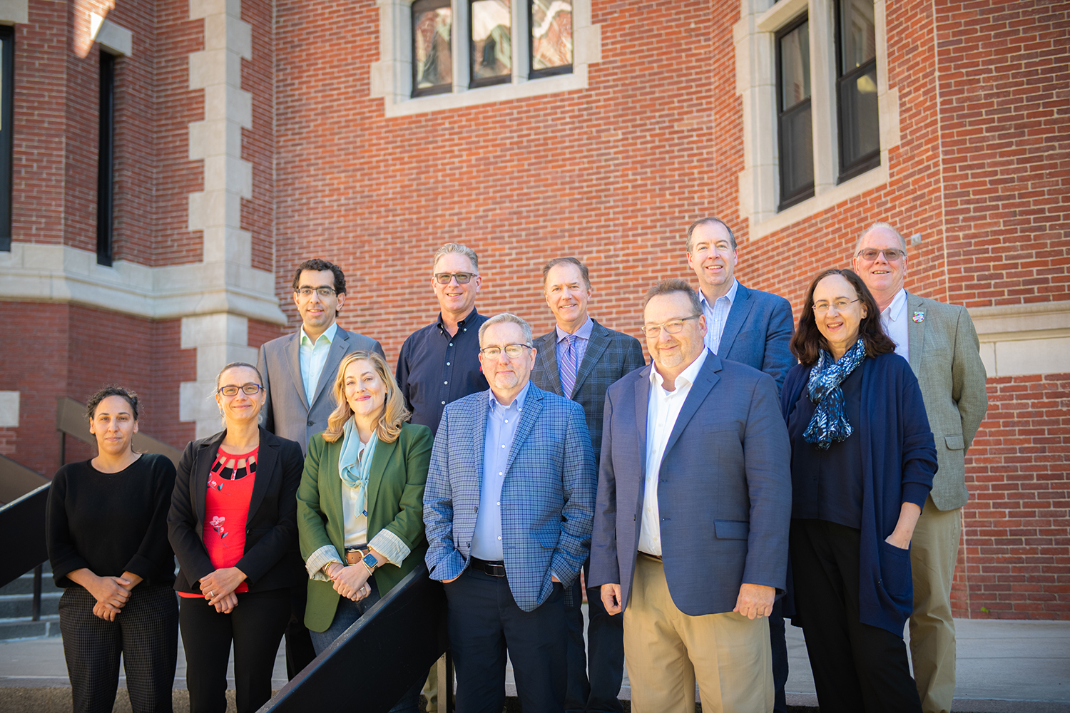
Recently, a seven-member Esri team visited campus for two days to discuss potential collaborations and partnerships with Clark on a number of projects. Hamed Alemohammad, director of Clark Center for Geospatial Analytics (Clark CGA), hosted the Esri contingent, who also met with President David Fithian, Interim Provost John Magee, geography professors Florencia Sangermano, Jim Murphy, Lyndon Estes, and John Rogan, as well as Professor Yelena Ogneva-Himmelberger of the Department of Sustainability and Social Justice.

“We’ve had a longstanding relationship with Esri,” said Alemohammad, who noted that Jack Dangermond, the company’s co-founder and president, received an honorary Doctor of Science degree from Clark in 2011. “We are a smaller team than Esri, but we have unique expertise, particularly in GIS and remote sensing research, and they are interested in collaborating with us around these topics.”
Alemohammad said Esri is drawing on Clark’s expertise surrounding issues such as the mapping of global land cover using remote sensing data and projecting how land cover might impact the future. The former Clark Labs had already done extensive work projecting what land cover at a global scale will look like in 2050, a project funded by Esri. The company is now looking for Clark CGA to enhance those projections by increments of 10 years and increasing their spatial granularity, while also taking into account multiple climate projections and climate-coupled vegetation change for those same periods as they map out future land cover scenarios.
While the mapping project is multi-institutional, “we had an engaging discussion about what Clark can do to be the academic host of this project,” Alemohammad said. Clark eventually will be making recommendations for improvements to the World Terrestrial Ecosystems project.
Another area for partnership is the development of a modern GIS curriculum that will complement the tutorials published within ArcGIS, a priority of Esri. Part of the team that visited Clark included the Esri education team, who learned about the current curriculum offered at Clark for both undergraduate and graduate programs, and discussed areas where Clark can design new and modern content to address the contemporary GIS needs for teaching the next generation of GIS practitioners. Clark has been a premier player in remote sensing and imagery education and services, Alemohammad noted, and that’s where Esri is interested in working with Clark faculty. Clark already has formed a working group that will be designing the new remote sensing and imagery curriculum in collaboration with Esri staff.
The Clark and Esri teams also hashed out other potential projects that can be undertaken in tandem within the areas of conservation and land change modeling, including adding more data sets in ArcGIS Living Atlas of the World that meet the so-called FAIR principles (Findable, Accessible, Interoperable, and Reuseable).
Another shared interest is biodiversity mapping, a longstanding area of expertise at Clark. Esri is augmenting ArcGIS with billions of records pertaining to the diversity of plants and animal life across the globe. These data can be used along with GIS and remote sensing data to map essential elements and drivers of biodiversity at a global scale.
“Both the terrestrial ecosystem and biodiversity initiatives are about identifying clusters of regions around the world that have potential similarity in their biodiversity, or in their ecosystem services, and then project how these ecosystems and regions are going to change into the future,” Alemohammad said. “What is really important from a decision-making perspective is the impact these changes will have on human life.”

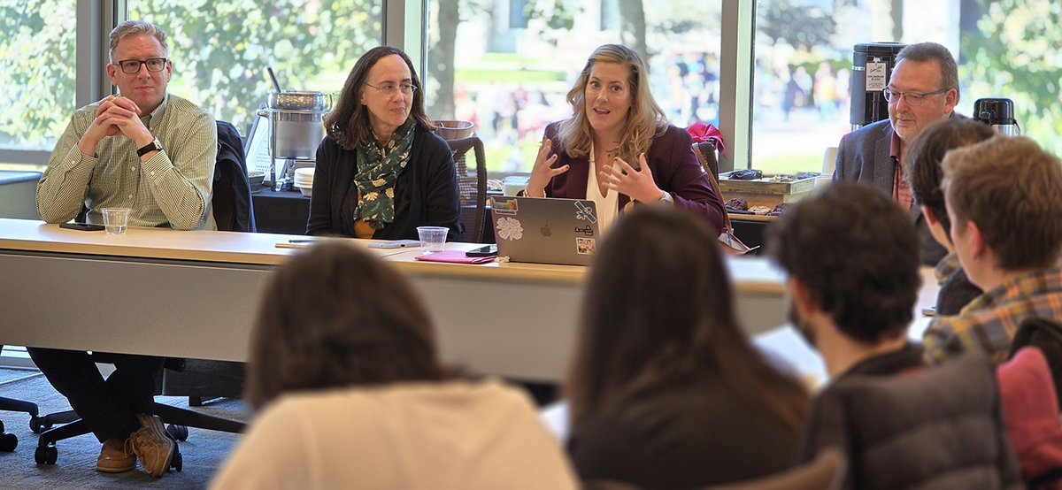
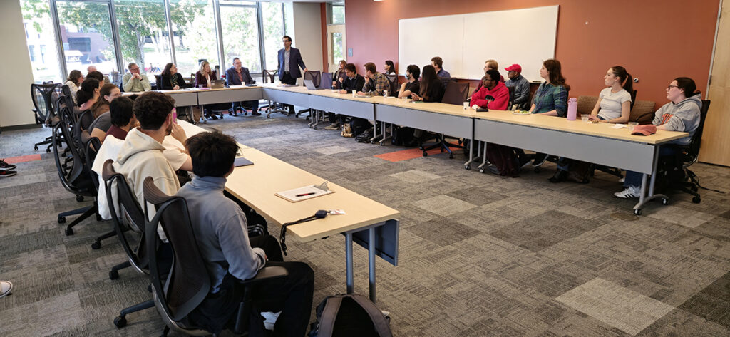
The Esri team also met with about 30 students from undergraduate and graduate programs on campus and discussed careers in GIS and remote sensing. In this panel, which was co-organized by Clark CGA and the SSJ career development office, students got the opportunity to ask questions from the Esri team about their career paths, and job opportunities at Esri.
Alemohammad noted that the Esri visitors enjoyed a detailed discussion with Fithian and Magee about Clark’s GIS legacy and the ongoing importance of GIS to the University’s academic mission, including how it dovetails with Clark’s strategic planning. “The Esri team was amazed and excited about the vision for the University and establishment of the new School of Climate, Environment and Society,” he said.
“We had an exciting few days visiting Clark University,” said Sean Breyer, director of ArcGIS Living Atlas of the World. “Collaborating with the university on areas like remote sensing, future land cover, climate change, and integrating modern GIS practices into the curriculum could have a significant impact on Clark students.”


