Geographer Gil Pontius to teach digital map-analysis overseas

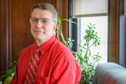
Clark geography Professor Gil Pontius has been selected as a 2022-2023 Fulbright Scholar to share his expertise in analyzing digital maps with the Brazil-based organization MapBiomas. He will spend a month and a half this summer and two and a half months next summer in Porto Alegre in Southern Brazil, teaching the foundational mathematical equations to scientists, professors, and students that will help them sift through data from satellites to measure land change.
Pontius was urged to apply for the Fulbright by MapBiomas. He became a member of the organization’s Independent Committee of Scientific Advice two years ago and was stunned by its expansive research and database. Though MapBiomas has accumulated an enormous collection of digital maps, it is still building the expertise to analyze its records.

“The technology of remote sensing is an art and it takes quite a bit of talent,” says Pontius. “There just hasn’t been a focus within the profession on how to analyze the maps after you invested so much effort to create them.”
The organization’s maps, which are compiled from satellite images, display nearly the entirety of South America over the last 36 years. The maps contain millions of pixels, with each pixel representing a 30-meter by 30-meter swath of land. Pontius will teach the organization’s scientists the math needed to track how much forest has been lost or gained in Brazil, as well as other changes in land cover, water resources, and agriculture. MapBiomas will then be able to integrate its research agenda with Pontius’s methods.
“MapBiomas organization has the most impressive collection of digital maps of land cover that I’ve seen,” says Pontius. “I saw the research they were doing, and the phenomenal database, and I started incorporating that material into my classes and into the research that my students and I do together.”
Representatives from MapBiomas have routinely joined Pontius on Zoom during his work with students. “It’s a remarkable experience for both me and the students to work with this level of science in an international context,” he says.
It’s challenging to take a time series of satellite images and convert them to a time series of maps that show true changes on the ground. During his time in Brazil, Pontius will teach researchers to interpret satellite data given the suspected errors in the maps. He notes that some changes appearing on digital maps do not necessarily reflect real changes on the ground. He and his students are developing clearly interpretable analytical methods to maximize understanding.
“It’s easy to get remotely sensed data and complete a naïve classification to convert the satellite imagery into a map with categories of land cover,” he says. “But if you use a naïve method, you end up with maps showing changes that never really occurred.”
With Pontius’s methods, MapBiomas can use its database to inform initiatives that address such issues as deforestation and the evolution of wetlands.
Pontius says the fate of Brazil has a critical impact on the global environment.
“The Amazon is like the lungs of the planet, and it’s being burnt down,” he says. “If the burning continues, it’s going to influence the world even more. It affects climate change, biodiversity, agriculture, sustainability, and a variety of additional factors.”
The Fulbright award follows the release of Pontius’s book, “Metrics that Make a Difference: How to Analyze Change and Error,” which was published earlier this year. The book, which is targeted to university students and professionals, is a compilation of fundamental ideas he has developed concerning quantitative research methods that apply to numerous professions.


