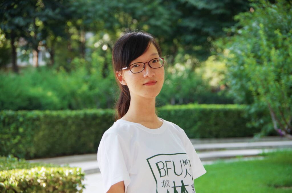
Students win awards at American Association of Geographers 2022 meeting

At its 2022 meeting, held virtually, the American Association of Geographers recognized four Clark students for projects that explored topics like the shrinking of ponds in Massachusetts and land use change in Brazil.
Ruthanne Ward, a junior majoring in Geography, earned first place in the undergraduate competition. Claire Wang, pursuing an M.S. in Geographic Information Science, placed third in the remote sensing competition. In the cartography competition, Aiyin Zhang, a doctoral student in the Graduate School of Geography, placed third, and Luke Brogna, a junior majoring in Geography, received an honorable mention.
Ward’s project questioned the project qualification guidelines of REDD+. A United Nations initiative, REDD+ is a climate change mitigation solution that aims to reduce deforestation and provide credits to carbon-emitting companies for preserving forests. Ward and her group, which included Meghan Davinroy ’21, questioned what areas are qualified to receive carbon credits. They found that companies could manipulate figures through GIS processes to become more likely to qualify for carbon credits.
“If you have the background knowledge, you can manipulate processes to meet your needs. I think there’s a lot of room for foul play,” says Ward.
The AAG is a professional and scholarly association representing educators, researchers, and practitioners in geography. The largest geography society in the world, thousands attend its annual meeting to participate in specialty groups focused on an array of topics and subjects, including competitions for student geographers.

Brogna also analyzed qualification criteria for REDD+ projects. He simulated forest loss in Brazil and created graphs that showed steep forest loss from 2000 to 2010 and a more level rate of loss from 2010 to 2020. That instability can alter how projects qualify for REDD+, Brogna says.
“When you have areas where change is not stable, the criteria for qualification can be modified,” he says. “I hope it will make people rethink the current qualification criteria or at least use it more carefully.”
Robert Gilmore Pontius Jr., professor of Geography, says students who present at the AAG annual meeting build their credentials, practice public speaking, and receive feedback from experts in their field.
“The awards show that our students are functioning with the best at this international conference and are engaged in meaningful research,” says Pontius. “I’m always impressed with the level of dedication of Clark students.”
At the meeting, students either give a 15-minute talk or present a poster of their research.
“In many cases, these posters are based on months or years of work that they have to summarize in five minutes,” says Pontius. “It’s a fundamental professional skill.”
Pontius encouraged Zhang to present her poster. She developed a method to characterize spatial-temporal patterns of land transitions, focusing on ponds in Massachusetts. She used aerial maps from 1938, 1971, and 2013 to analyze how ponds shrunk or grew over time.
Zhang developed methods to directly examine transition patterns of ponds over a time series, unlike other popular metrics that measure patterns at a single time point.
“My method shows that not many ponds are expanding, while a lot of ponds are appearing or disappearing out of nowhere,” she says. “This is a very strange phenomenon and we’ve begun to suspect it’s not actually ponds changing, rather a problem with the dataset.”
Wang also examined change — her work quantified patterns of land change over 36 years in Brazil. For her thesis, Wang programmed a GIS script to capture noteworthy patterns in land change history, which can point to classification errors in source data.
In one example, Wang found an area that has been classified as forest for 17 years, abruptly became farmland in the 18th year, and then returned to forest and persisted for another 17 years.
“That land change is very rare in the real world. You don’t see a forest patch suddenly shift to farming, and farmers immediately abandon this farmland after one year,” Wang says. “Knowing these kinds of patterns exist gives scientists and researchers knowledge about the potential errors in source data.”
The other awards in the remote sensing competition went to Ph.D. students.
“I was excited they considered me for third place, and I think it’s because my metrics are considered a novel analysis on time series data,” Wang says.


