Study shows ‘unprecedented’ worldwide urban expansion from 1985 to 2015

The rate of urban expansion worldwide from 1985 to 2015 was unprecedented, according to an international team of scientists, including Clark University geographer Lyndon Estes. Their findings, “High-spatiotemporal-resolution mapping of global urban change from 1985 to 2015,” were published in Nature Sustainability on May 4.

In this study, Estes and his fellow researchers used satellite images to map urban growth over three decades. High-resolution global maps of annual urban land coverage provide fundamental information of global environmental change and contribute to applications related to climate mitigation and urban planning for sustainable development, the authors note. Each image captured 900 square meters of ground, a level of detail that allowed the scientists to study land-use change over time.
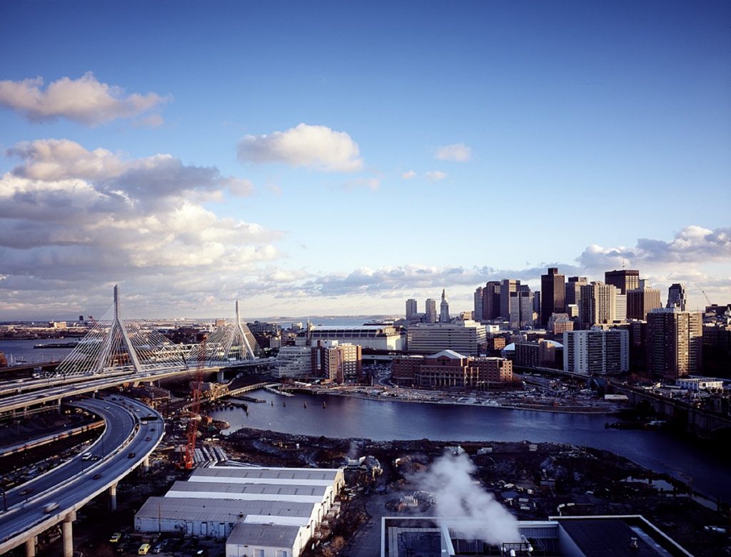
They found that urban areas expanded 80 percent over the measured period, and that each year, an average of 9,687 square kilometers of land — an area bigger than New York City — converted from non-urban to urban uses. In China and India, urban growth occurred mostly within and around a handful of large cities. A greater number of cities accounted for the bulk of U.S. urban growth, including Chicago, Atlanta, Dallas, Boston, Houston, New York, and Las Vegas.
The urbanization rate is four times greater than one previous estimate, and notably faster than the rate of population growth.
The maps, along with integrated assessment models, can be used in the future to facilitate greater understanding of the complex environmental impacts of urbanization and to help urban planners avoid natural hazards — for example, by limiting new development in flood risk zones.
Estes came to Clark in 2017 after serving as a research scientist in Princeton University’s Woodrow Wilson School and Department of Civil and Environmental Engineering. His co-authors include scholars from universities in China, France, and across the U.S., including Princeton and Yale.
