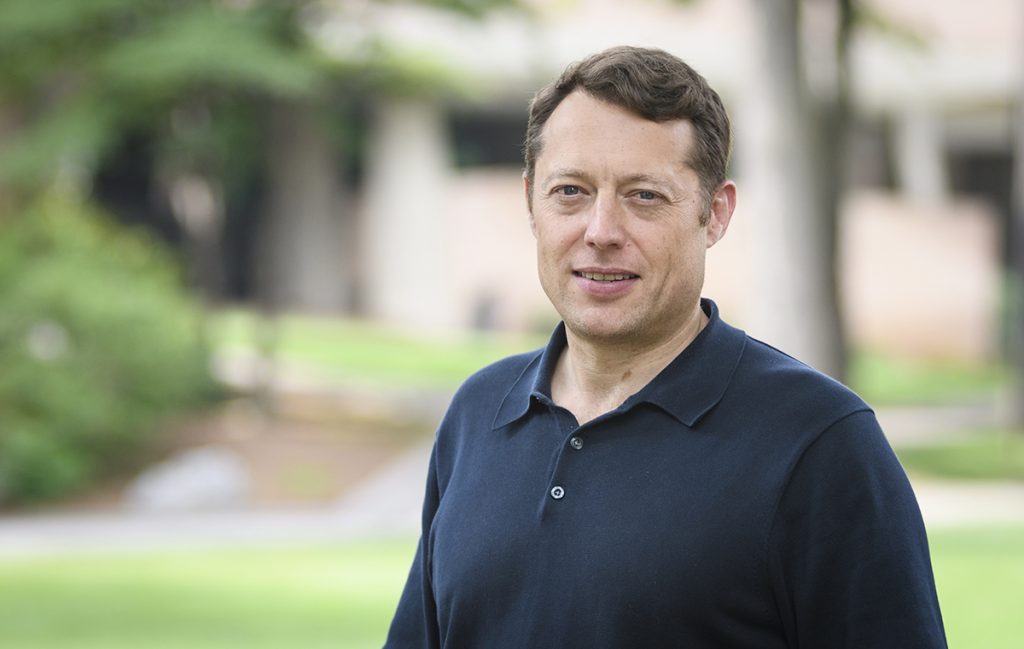
Clark geographer Lyndon Estes takes on the issue of food security

Do you and your family have reliable access to the food you need, when you need it? If the answer is yes, then you’re among the fortunate whom scientists call “food secure.”
The answer to that seemingly straightforward question depends on complex linkages and interactions between where people live and where their food is produced, as well as factors like climate variability, surges in population, transport disruption, and government policies.
Lyndon Estes, assistant professor in the Graduate School of Geography, and a team of researchers from the universities of Arizona; California, Santa Barbara; and Illinois at Urbana-Champaign, will be investigating the impact of drought and climate change on food security in selected primary, secondary, and tertiary cities with fewer than 100,000 people in three southern African nations: Botswana, South Africa, and Zambia.
The multi-year study is being supported by a $1.6 million grant from the National Science Foundation CNH2: Dynamics of Integrated Socio-Environmental Systems Program. The study’s urban focus is uncommon, since most food security research is conducted in rural areas, Estes says.
The project builds on research Estes has been doing with this team over the past several years. Most recently they’ve been studying food security at the household level in Zambia by examining the interactions of droughts of varying duration and extent in conjunction with market access and national food security policies. Estes has also conducted related research in Kenya and South Africa.
Each team member contributes a unique area of expertise to the project. For Estes, it’s his extensive background in mapping and modeling agricultural systems in Africa using remote sensing technology. The ability to delineate accurately the boundaries of cropland, identify what is being grown, and estimate and predict yield, is critical to evaluating food security.
While there are many agricultural maps of Africa, Estes says that more up-to-date maps with higher levels of accuracy are needed. Even with today’s sophisticated remote sensing and on-the-ground survey technology, there has been a lack of consistency in implementing and documenting how agricultural data is collected and interpreted, both by humans and computers. Scientific papers do not always adequately describe how maps are generated, nor is there consistency in the way potential for error is communicated to the map user. Such errors can cascade through products derived from maps and compromise decisions based on them.
Comprising Clark faculty and graduate students, Estes’ Agricultural Impacts Research Group is prioritizing the development of best practices acquiring and creating high-quality agricultural data. The team’s Mapping Africa initiative, in collaboration with researchers at the University of California, Santa Barbara, and Princeton University, is pioneering a fast, scalable, and cost-effective land cover mapping system that fuses human and machine intelligence. Its goal is to map the distribution and characteristics of cropland in Africa with unprecedented accuracy.
Concurrent with this initiative, funded by Omidyar Network, Estes organized a January 2019 workshop at Clark University designed to address issues of map accuracy and make the process of creating maps more transparent. The workshop, also attended by Clark professors of geography Ron Eastman, Robert Pontius Jr., and John Rogan, has resulted in an article titled “Accounting for training data error in machine learning applied to Earth observations,” currently under peer review by the journal Remote Sensing.
Estes hopes that these research efforts will ultimately lead to an increase in the number of people who, when asked if they are food secure, can respond with a resounding “Yes.”


